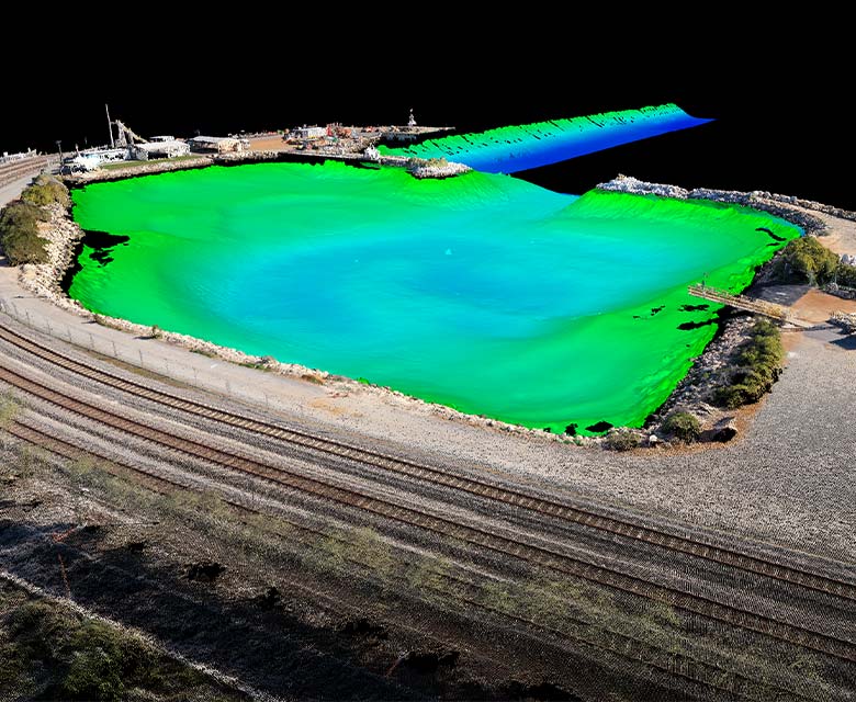
EGS Australia successfully completed a 3D photogrammetry topographical survey and multibeam echo sounder hydrographic survey to provide a baseline for the future monitoring of breakwaters and harbour rock walls in Geraldton.
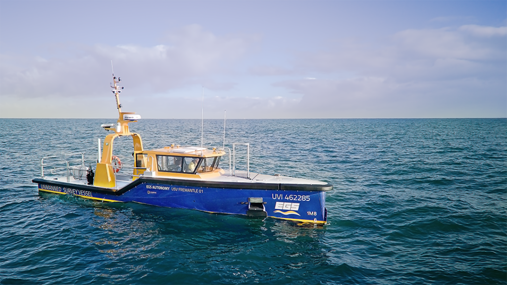
3D photogrammetry data was acquired using an aerial drone. Hydrographic survey was conducted using EGS’s survey vessel the Independence.
